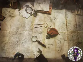
Have a cartographer, surveyor, explorer, or guide character? Here's how to write them effectively along with terminology we use often. I also have an article on my Patreon regarding how to read fantasy maps with a few notes on how to not be too intimidated by creating one or having one made for you.
First, cartographers interpret data provided by several sources to compile an image of the information. There are three types of maps (a map can be a combination of any of these types or just one type):
General Reference: What we normally see in fantasy and early maps of earth. They are easy to read and often enlarge or emphasize features to give a general idea of an area.
Topographic Maps: These are maps that show elevation using contour lines, emphasize locations of civilization, and may contain information such as vegetation or boundaries.
Cadastre: This is a simple illustration showing the boundaries of a space such as a parcel of property for a house. It may also contain the general shape of buildings, land features, or roads.
Thematic Maps: These maps are created to show specific information such as population density, international boundaries in an ocean, exports of a particular country, or anything similar.
When is a map not a map? When it's a chart. Navigation charts are specifically designed for traveling across water or air. Though they resemble maps and may even show land features beyond a coastline, they are created with information that is necessary to sail or fly across a specific space. They often include water depth, location of ports/lighthouses, weather conditions typical to an area, information on maintaining a course as one sails/flies across the curvature of the planet, etc. It also takes specific training to learn how to read these charts. Navigators are the ones trained to read them and to determine a ship's or plane's path. If you want to learn more about navigating and sailing for your fantasy world, I have an article on this subject on my Patreon (free).
So if cartographers interpret the data, who collects it? Surveyors and explorers. Surveyors are people who specifically measure an area's elevation in regards to being above or below sea level, distance, land features, civilization markers, etc. Explorers are people who might make general notes about an area, it's people, the weather, climate, etc. but may not take any specific measurements.
Do cartographers explore or do any surveying? Sure! But it's not likely since cartographers are usually artist and tend to focus more on creating their unique art. In modern times, data is collected by surveyors, satellite, and several stations around the world that collect data on weather, earthquakes, volcanic activity and everything else we can measure about our planet. So again, very little reason for cartographers to be surveyors.